-
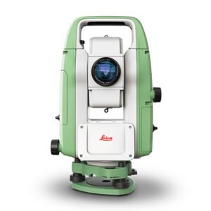
 AED د.إ25,524
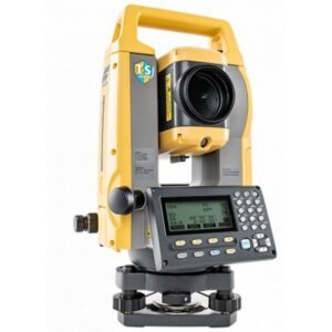
د.إ32,533Retail PriceTopcon Total st...
AED د.إ25,524د.إ32,533Retail Price -
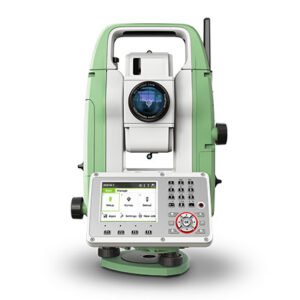
 AED د.إ27,244
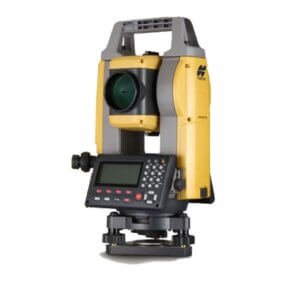
د.إ34,756Retail PriceTopcon Total St...
AED د.إ27,244د.إ34,756Retail Price -
-

Leica 3D Disto...
The Leica Geosystems 3D Disto is a unique tool for capturing and projecting accurate three dimensional measurements. The speed and precision of the 3D Disto brings unprecedented efficiency to applications like:
- Creating CAD templates: CNC is only good as your file. A 3D Disto is the bridge between reality and CAD. When you are cutting to fit and you know your original measurements are accurate, you can cut even the most expensive materials with confidence.
- 3D Visualization and Navigation: The upgraded Leica 3D Disto Software for smart devices using Windows® now displays results in three dimensions. With the 3D navigation, it is even easier to check measured points.
- Capturing As-Built Measurements: The best way to eliminate surprises later in the job is to know what you are starting with. The 3D Disto accurately captures 3D coordinates with the precision you need for planning. If your work involves expensive materials that are difficult to cut, transport or are processed off-site, you know accurate “as-built” measurements are critical.
- Building Information Modeling (BIM) : Take DXF data directly into your Windows tablet and use the 3D Disto to layout anchor points, transfer heights or verify critical construction locations.
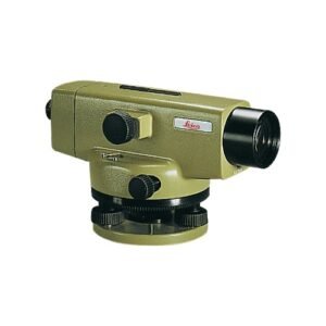
AED د.إ38,088د.إ45,737Retail PriceLeica 3D Disto...
AED د.إ38,088د.إ45,737Retail Price -
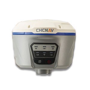
GPS Station Chc...
The i50 GNSS receiver brings complete your surveying and construction projects efficiently. Combined with our LandStar7 peed and accuracy in one easy-to-use GNSS solution to field software and HCE320 Android controller, the i50 GNSS is the perfect surveying solution for topographic and construction positioning tasks.
The i50 GNSS receiver integrates positioning and communication technologies in a rugged unit that is designed to provide work flexibility. When RTK corrections networks are unavailable at your job sites, just easily set up one i50 GNSS UHF base and use your i50 GNSS UHF rover to conduct your surveying tasks effectively.
AED د.إ50,784 Retail PriceGPS Station Chc...
AED د.إ50,784 Retail Price -
-
-
